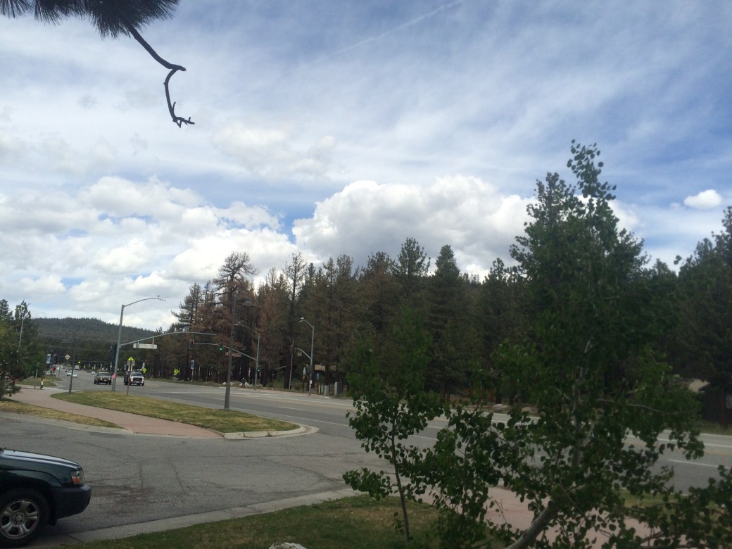
Here’s what the National Weather Service says this morning:
INDICES CONTINUE TO SHOW IMPRESSIVE VALUES WITH A STRONG CAPE
GRADIENT OVER THE SIERRA, DECENT SHEAR, AMPLE MOISTURE, AND
8-9C/KM LAPSE RATES. DCAPES CONTINUE TO BE AROUND 1000J/KG AS
WELL. THESE VALUES SUGGEST STRONG STORMS TODAY WITH SOME
ORGANIZATION INTO SUPERCELLS LIKELY FOR SOME OF THE CELLS. GUSTY
TO DAMAGING WINDS ARE THE LARGEST THREAT AS TEMPERATURES WILL BE
NEAR 90 FOR WESTERN NEVADA WITH A VERY DRY SURFACE LAYER. GUSTS IN
EXCESS OF 65 MPH ARE NOT OUT OF THE QUESTION EVEN FROM A MODESTLY
STRONG THUNDERSTORM OVER A LOWER VALLEY. ALSO, A FEW OF THE CELLS
WILL BE CAPABLE OF PRODUCING HAIL AN INCH OR LARGER IN DIAMETER;
THIS THREAT IS SECONDARY TO THE STRONG OUTFLOW WINDS. LOW LEVEL
HELICITY SUGGESTS THE POSSIBILITY OF A FEW FUNNEL CLOUDS AS WELL.
HOWEVER, THE LCL CONTINUES TO BE FORECAST AROUND 10000 FT SO ANY
FUNNELS THAT DO FORM WILL BE EXTREMELY UNLIKELY TO REACH THE
SURFACE. FINALLY, THUNDERSTORMS TODAY WILL HAVE AMPLE MOISTURE TO
FEED ON AS PWATS REACH 0.75″. ANTICIPATE VERY HEAVY RAIN FOR THE
STRONGER STORMS WILL HEAVY RUNOFF ESPECIALLY IN TERRAIN. SOME
LOCALIZED FLASH FLOODING IS POSSIBLE WITH THE POTENTIAL FOR
ROCKSLIDES AS WELL.
CONVECTION WILL LIKELY CONTINUE INTO THE NIGHT AS FORCING ALOFT
REMAINS STOUT.
WEDNESDAY…TROPICAL MOISTURE MOVES NORTHERN NEVADA AS LOW
PRESSURE PRESSES EASTWARD. PWATS WILL LIKELY BE AROUND 1 INCH OR
BETTER APPROACHING LOCAL DAILY RECORDS. WITH THIS MUCH MOISTURE,
PRECIPITATION WILL OVERSPREAD WESTERN NEVADA AND NORTHEAST
CALIFORNIA BRINGING PERSISTENT RAIN SHOWERS WITH EMBEDDED
CONVECTION. SOME SHOWERS MAY BE PARTICULARLY HEAVY AS
PRECIPITATION PROCESS BECOME VERY EFFICIENT. THERE WILL BE
CONCERNS OF LOCALIZED FLOODING AND HEAVY PONDING IN AREAS THAT
RECEIVE PERSISTENT RAIN SHOWERS. THE THREAT WILL INCREASE IF THERE
ARE ANY CLOUD BREAKS ALLOWING FOR SURFACE HEATING.
Wait. 65 MPH gusts? One inch diameter hail? Daily record rainfall? Funnel clouds????
Now, I’m pretty tough, and I was totally heading out this morning when my friends and relatives convinced me that discretion is the better part of valor. It sounds like I might spend most of tomorrow hunkered down anyway, so why not hunker down here in my nice hotel room and watch the lightning from the jacuzzi?
This will probably mess up my stupid schedule to meet my Dad in Tahoe, but it is what it is. Truth be told, I’m still pretty tired. I’ve been pushing myself to the limit for nine weeks and two more days of rest will probably be good for me.
So, I’m going to get some beer and food and take a nap. I’ll probably do a post or two of all the thoughts I’ve been having on the trail that I haven’t had time to share with you!

Probably a good call to wait. Looks better Thursday. Did those next 3 to T-meadows on skis and foot 25 yrs ago. Remember it being kind of exposed.
LikeLike
Yeah, saw a bunch of people heading out today and felt kind of whimpy. It a nice day here in Mammoth so far. That’s OK, I can use the rest.
LikeLike
Glad you are taking the rest
Awesome posts and photos
LikeLike
Glad you are taking the rest
Awesome photos and posts
LikeLike
So, yeah, that storm activity blew through northwest California as well, just not as wet. Lots of lightning strikes and lots of fires. Six Rivers has all of ours contained or nearly so, but Sims is burning again (called the Saddle Fire this time), all on the Shasta-T so far, about 1,000 acres. I think lightning storms are likely to continue based on El Nino, westerly trade winds, and an amplified Pacific hurricane season. Good times.
LikeLike